GIcarus Lab

Works
The following is a selection of major projects developed in recent years, where advanced research converges with practical application, generating outcomes that support civil society, public institutions, and the business sector.


Services
Below are the services offered by the GIcarus Lab Unit to students, teachers, researchers and businesses
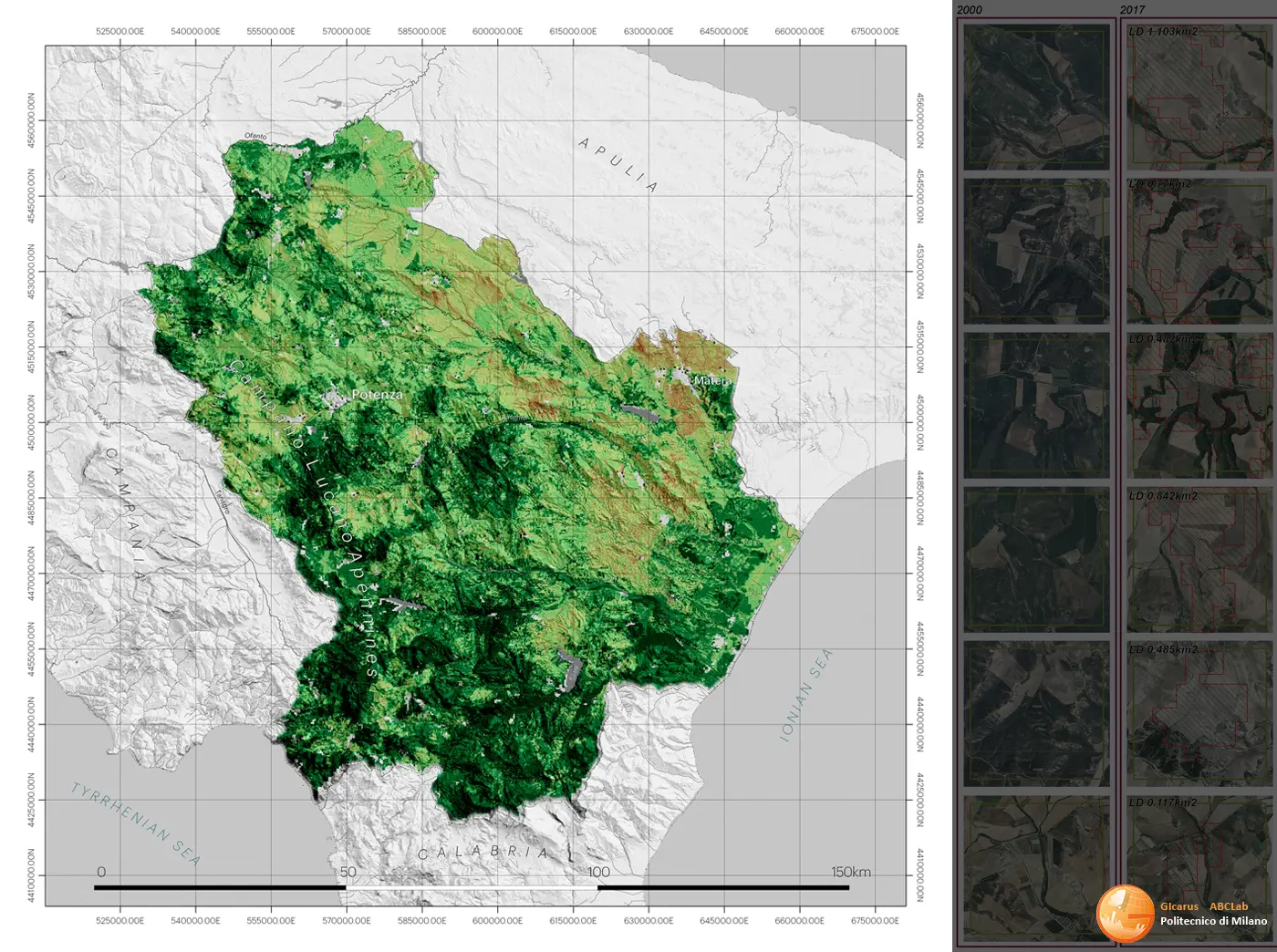
Topographical and image monitoring of land
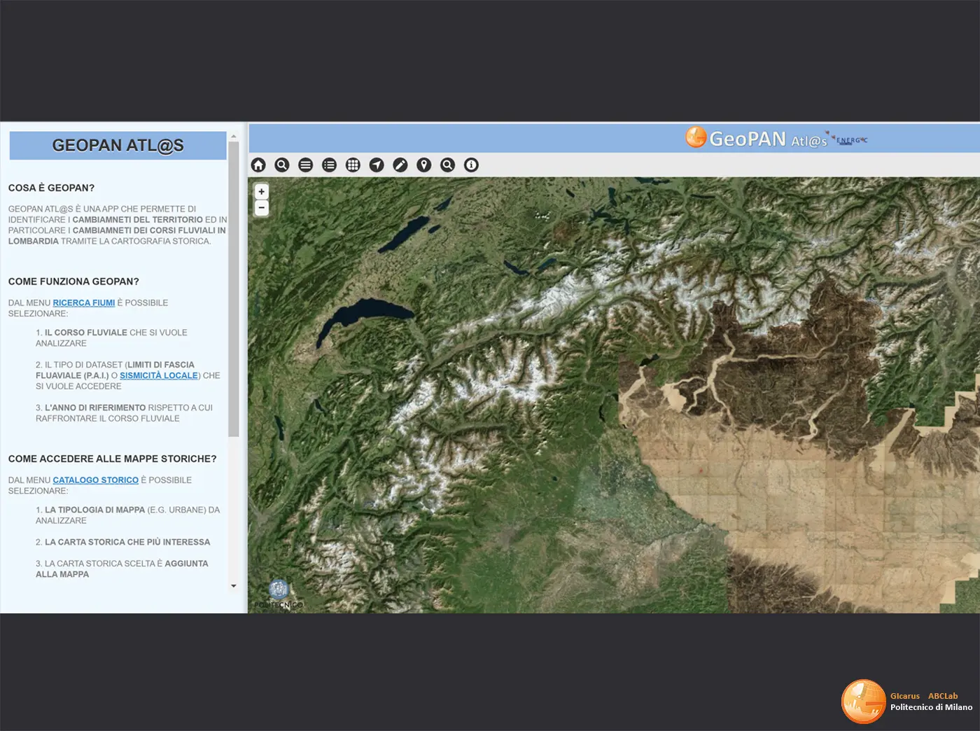
Topographical/celerimetric/GPS surveys carried out to: monitor the land and ground deformations; monitor large civil structures and cultural assets; to monitor the natural environment, man-made environment and natural resources. Panoramic images of waterfronts, image capture from PhotoGPS with the use of calibrated cameras (full format or others) and 3D texturing of panoramic images on topographical databases integrated with laser scanners in order to generate a range of images of the fronts in support of the risk maps, VIA and maps of intervisibility. Development of Geopanapp (applications for I-devices) to support projects based on volunteered information and living lab communities.
Photogrammetry and aerial photogrammetry
Aerial photogrammetry surveys using UAV technology. ground surveys of the land and the built environment and image processing.
Scanner technology
Three-dimensional surveys through the use of LiDAR sensors, terrestrial laser scanners and structured-light 3D scanners of complex architecture, sites, archaeological digs, the environment and small-scale objects. Use of data obtained for the simulation of scenarios and environmental monitoring.
Two- and three-dimensional representation
Drafting of designs on all scales, representations of architecture through the creation of digital models and realistic simulations by means of specialist software.
Tools
Zeiss Autolivello NI1
Leica GPS 1200
Camera Termica IR NIR Camera Termica IHR FLIR
Visore per la realtà virtuale Samsung Gear
Riegel LMS-Z420
Fotocamera digitale NIKON HR calibrate
Fotocamera digitale CANON
Faro Focus 3D
Tools
Drone fleet
Find out moreLeica – TS30
Find out moreWild/Leica - TPS 1200
Find out more